
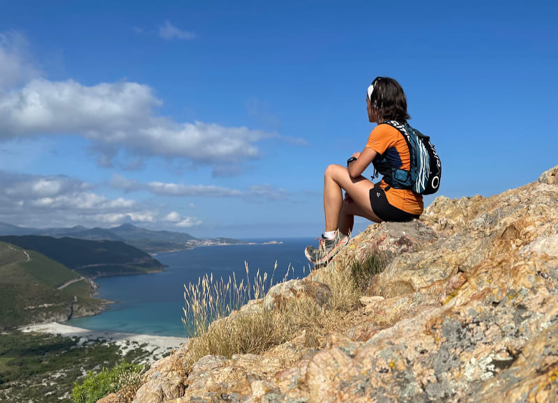
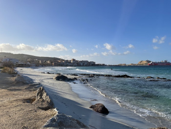
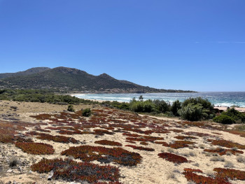
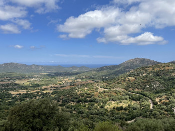
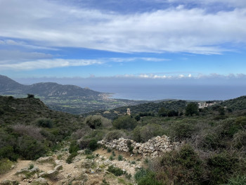
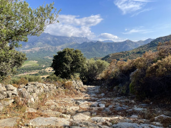
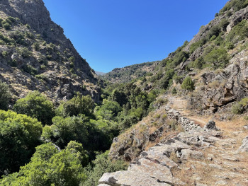
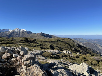
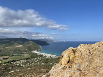
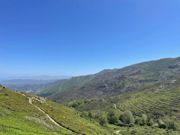
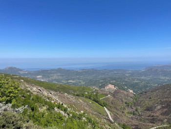
A land of adventure by nature, L'Ile-Rousse Balagne offers outdoor activities to be enjoyed in a spectacular setting. Lovers of the great outdoors, the Espace Trail will offer you great sensations combined with the contemplation of magnificent landscapes.
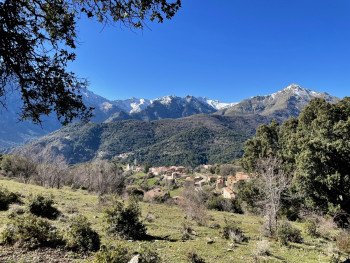
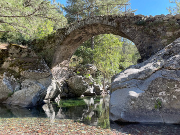
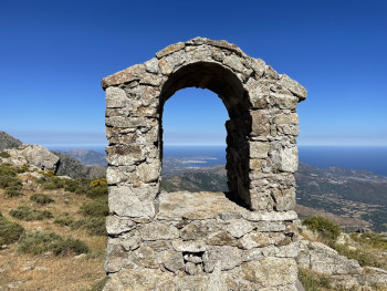
From the sea to the mountains, discover through your practice the villages of the interior, the national forests, the rivers and their Genovese bridges, the vernacular heritage as well as all the fauna and flora of this region , which will offer unforgettable moments of discovery.


3.74km 115m 115m
L'Île-Rousse
Route opened
10.35km 252m 252m
L'Île-Rousse
Route opened
16.6km 478m 478m
L'Île-Rousse
Route opened
23.35km 823m 823m
L'Île-Rousse
Route opened
45.33km 2178m 2178m
Belgodère
Route opened
25.54km 1332m 1332m
Belgodère
Route opened
17.38km 656m 656m
Belgodère
Route opened
9.4km 460m 460m
Santa-Reparata-di-Balagna
Route opened
15.34km 671m 671m
Santa-Reparata-di-Balagna
Route opened
9.81km 391m 391m
Olmi
Route opened
22.84km 971m 971m
Olmi
Route opened
8.4km 340m 340m
Pioggiola
Route opened
11.91km 943m 943m
Pioggiola
Route opened
5.24km 800m 3m
Pioggiola
Route opened
15km 462m 462m
Palasca
Route opened
18.15km 1138m 1138m
Pietralba
Route opened
33.38km 1746m 1746m
Pietralba
Route opened


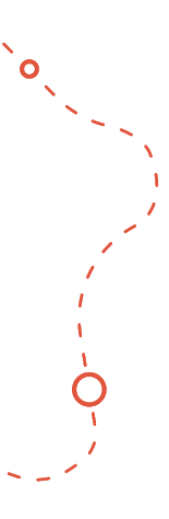
To orient you during your run, routes of the Espace Trail Île Rousse - Balagne are equipped with trail directional markers. Each marker is printed with the number(s) of the itinerary(s) to be followed with their colour of difficulty (green - blue - red - black) or their particularity (orange = vertical).
The trail markers are placed in a regular way, at each directional change.
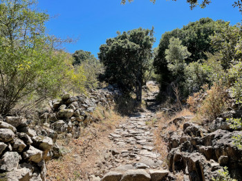
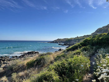
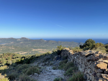
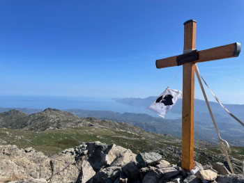
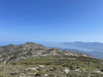
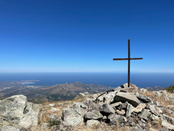
The opportunity to combine sport and discovery of the old mule tracks which are now used as a playground! All this in the heart of the maquis with breathtaking views!
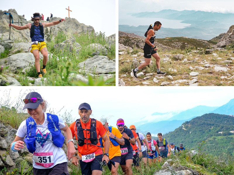
Trail of Petralbinca in June - a festive and sporty event! from Pietralba (30 km from L'Ile-Rousse)
- Trail of 45 km with + 2900m
- Trail of 21 km with + 1400m
- Trail of 11 km with + 650m
- 6km sport walk with + 300m
- 17km race with the most beautiful panoramas, in the heart of the maquis and the villages
- Walk of 9 km Spuntinu at the finish! Race for the benefit of the association La Marie Do which works to support cancer patients.
Safety and fun : our priority
Plan your next outdoor trip carefully.
Safety first : I share my itinerary and planned times with someone close to me for shared peace of mind. I use our mobile app to check the condition of the route before I set off
Check your equipment : make sure it's in good condition and suitable for the activity you're undertaking.
Weather conditions : I check the weather forecast to prepare and make the most of my trip. Routes can be dangerous in bad weather Hydratation is essential : jI need to carry enough water. Some of the stages in the villages allow you to stop at a bar or café for refreshment, but most of the fountains in the hinterland do not have drinking water and there are no water points in the Agriate region. You should also take some food with you.
All sections of the route on public roads are subject to the Highway Code. Make sure you obey them.
On the paths: enjoy while preserving
Gates and fences: I make sure I close the gates on the paths to respect private land and pastures.Respect for nature: I respect the environment by not leaving rubbish on the paths. I will sort it out on my way home. I stay on the paths and respect the natural and agricultural environment I pass through.
Pets: If I walk with a dog, I make sure it doesn't go near the herds. I may even keep it on a lead to avoid any incidents.
CHunting: During the hunting season, especially when wild boar are hunted from mid-August to May, I have to be vigilant. If a hunt is in progress, I take the time to talk to the hunters to ensure everyone's safety.
Approaching animals: I walk around herds or let them pass. If I see wild animals, I admire them from a distance to preserve their natural habitat.
Protected areas: preserving natural treasures
Vallée du Reginu (Natura 2000 site): I admire the biodiversity while respecting the restrictions to preserve this unique but fragile ecosystem, where the red kite has flourished for many years.
The Agriate (Conservatoire du Littoral): protected by the Conservatoire du Littoral, the Agriate is a natural jewel. I follow the recommended itineraries and do not bivouac or light fires.
Losari (Conservatoire du Littoral): I explore the uncontaminated beauty of Losari, following the recommended itineraries and avoiding any disturbance to the flora and fauna.
Ostriconi: I contribute to the preservation of this fragile ecosystem by avoiding any behaviour likely to disturb the flora and fauna.
In the event of problem (lack of markings, maintenance problems, environmental problems...), do not hesitate to signal this problem by using the reporting tool available on the route page, on the website (button under the map) or in the mobile app. You will be able to geolocate the problem and also send a corresponding photo. The Espace manager will be automatically notified of your report and will be able to check and deal with the problem.

the digital trails


![]()
Infos & contacts
Tourism Office
Île Rousse Balagne
+33(0)4 95 60 04 35

