
Departing from L'Ile-Rousse, this route takes you on a 3-day / 2-night tour between the sea and the mountains, to discover the different facets of Île-Rousse Balagne.
Stage 1 - L'Ile-Rousse > Belgodère (14km - 550m+)
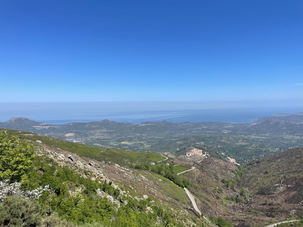
Starting from the beach at L'Ile-Rousse, you'll first follow the coast before heading inland to Belgodère, a small village perched on the rocks overlooking the Reginu valley.
Stage 2 - Belgodère > Maison forestière de Tartagine (29.5km - 1520m+)
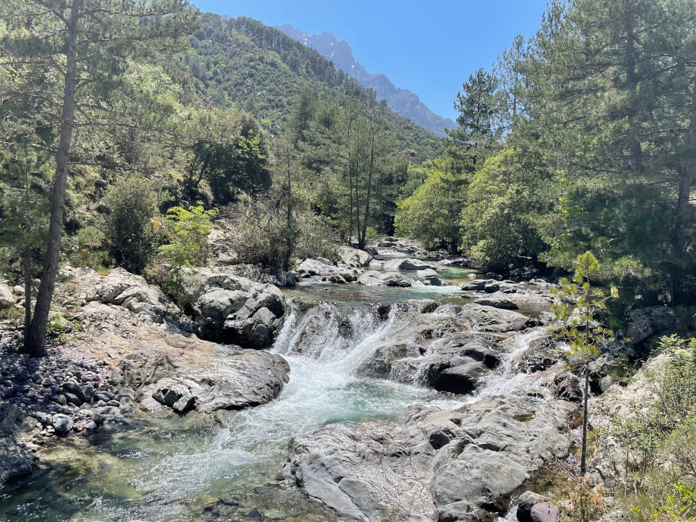
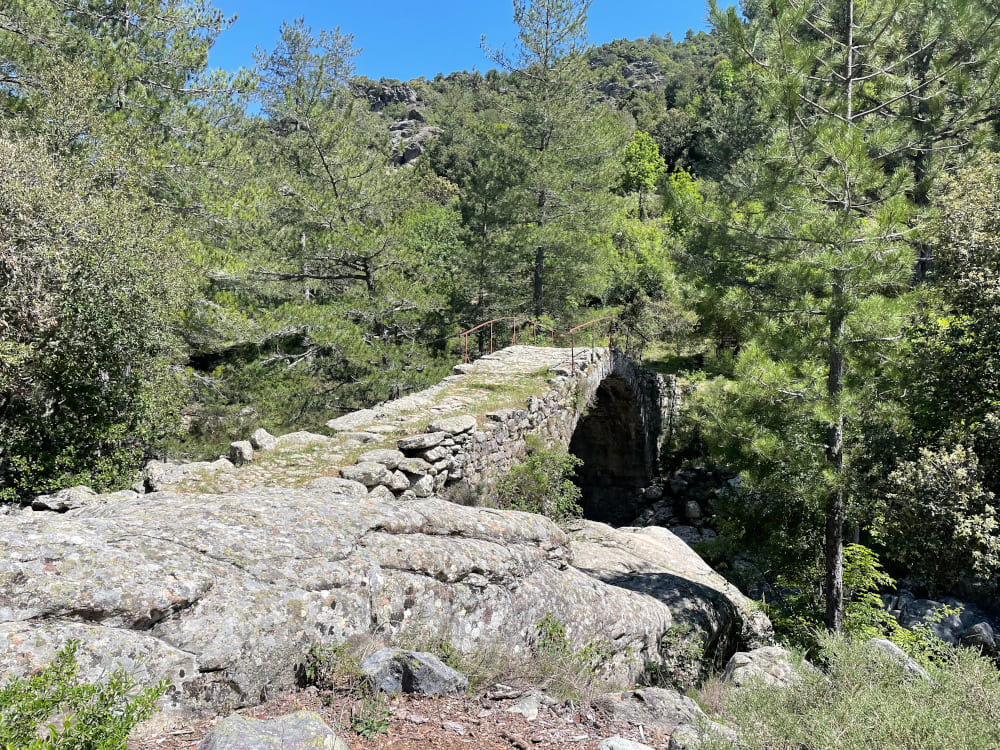
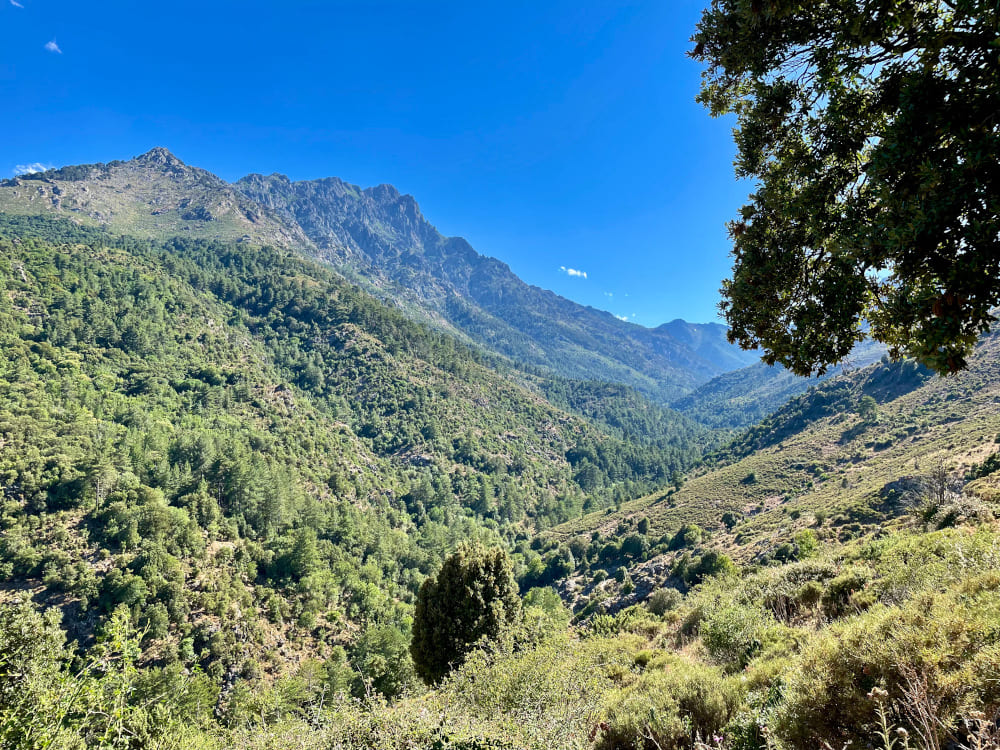
You then head for the San Colombano pass, the gateway to Corsica's regional nature park. Pass through the commune of Olmi-Cappella before descending to the Tartagine river, for a short break in a calm, shady spot in the heart of the Ghjunsani valley. You will then cross the Genoese bridges before reaching the Tartagine forest house for a well-deserved rest.
Stage 3 - Tartagine forest house > L'Ile-Rousse (42km - 1660m+)
You'll then head back towards L'Ile-Rousse, passing through Pioggiola, Nessa, Feliceto, Muro, Lake Codole and Santa Reparata di Balagna on a final stretch that's mostly downhill, before arriving at the beach at L'Ile-Rousse for a well-deserved swim !

- Distance 89.5 km
- Elevation gain 3590 m
- Elevation lost 3600 m
- Min. elevation 1 m
- Max. elevation. 1147 m
- Duration (depending on pace) 3 jours
- Marking Trail-running n°20


the digital trails


![]()
Infos & contacts
Tourism Office
Île Rousse - Lisula
+33(0)4 95 60 04 35
 Lisula - Outdoor & Trail - Parcours - N°20 - L'Ile-Rousse - Tartagine - L'Ile-Rousse (3 days)
Lisula - Outdoor & Trail - Parcours - N°20 - L'Ile-Rousse - Tartagine - L'Ile-Rousse (3 days)
Lisula - Outdoor & Trail - Parcours - N°20 - L'Ile-Rousse - Tartagine - L'Ile-Rousse (3 days)
Lisula - Outdoor & Trail - Parcours - N°20 - L'Ile-Rousse - Tartagine - L'Ile-Rousse (3 days)
Lisula - Outdoor & Trail - Parcours - N°20 - L'Ile-Rousse - Tartagine - L'Ile-Rousse (3 days)

